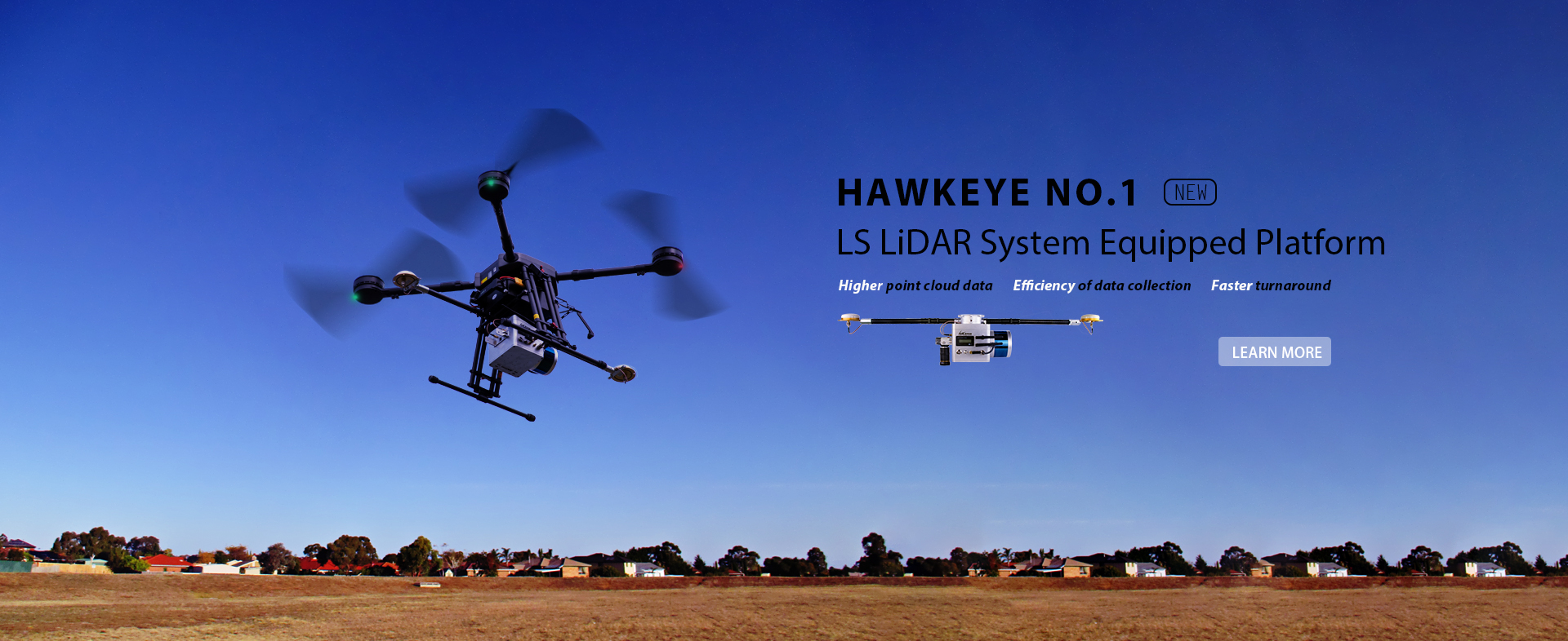
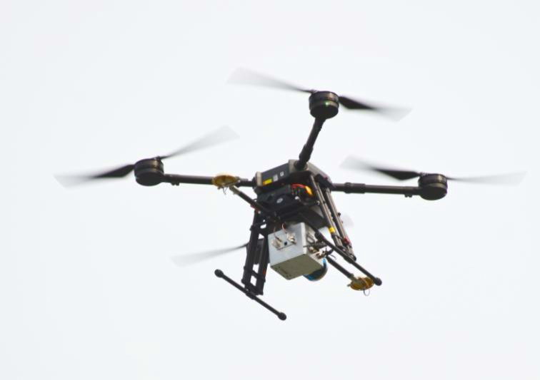
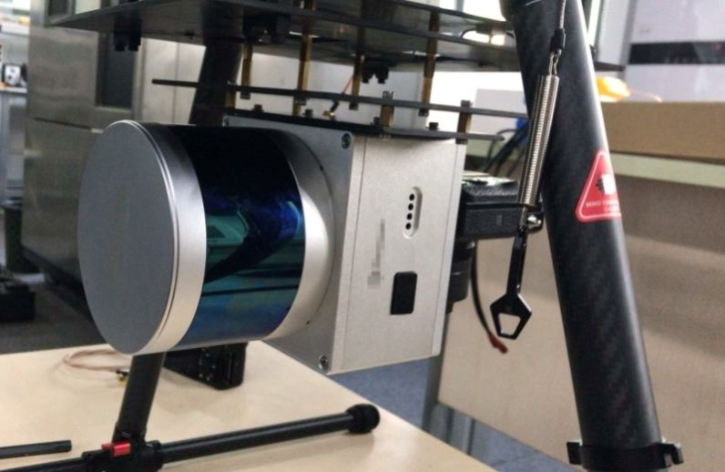
LS LiDAR

LS Mapping LiDAR Products

demo of mapping LiDAR Products

MS-C16 for powerline inspection

demo of Hawk Eye Real-time Mapping system

LS Mapping LiDAR Products

CH32/64 AUTO GRADE LIDAR SCANNER

MS-CH32

Channels: 32

Wave length: 905nm

Laser Classification: Class 1 Eye-safe/ IEC 60825-1:2007 & 2014 

Range: up to 200m @ 20%

Data points: up to 852,000 points per second

FOV – Horizontal: 120°

FOV – vertical: -6.67° to 4.58°

Maximum Echo Times:  2

Operating Temperature: -20℃~ 85℃

Weight: 950g

C16_1788_1555

MS-C16

Channels: 16

Wave length: 905nm

Laser Classification: Class 1 Eye-safe/ IEC 60825-1:2007 & 2014 

Range: up to 200m

Data points: up to 640,000 points per second

FOV – Horizontal: 360°

FOV – vertical: -15° to 15°

Maximum Echo Times:  2

Operating Temperature: -20℃~ 60℃

Weight: 650g

LONG RANGE LIDAR SCANNER MS01

MS01

Channels: 1

Wave length: 1550nm

Laser Classification: Class 1 Eye-safe/ IEC 60825-1:2007 & 2014 

Range: up to 500m

Data points: up to 250,000 points per second

FOV – Horizontal: 360°

Resolution: up to 0.0072°

Maximum Echo Times:  4

Operating Temperature: -20℃~ 85℃

Weight: 1664g

MS02 Long range mapping lidar

MS02

Channels: 1

Wave length: 1550nm

Laser Classification: Class 1 Eye-safe/ IEC 60825-1:2007 & 2014 

Range: up to 500m

Data points: up to 156,000 points per second

FOV – Horizontal: 75°

Resolution: up to 0.02°

Maximum Echo Times:  5

Operating Temperature: -20℃~ 85℃

Weight: 1800g

MS03 Long range mapping lidar scanner

MS03

Channels: 1

Wave length: 1550nm

Laser Classification: Class 1 Eye-safe/ IEC 60825-1:2007 & 2014 

Range: up to 2000m

Data points: up to 667,000 points per second

FOV – Horizontal: 120°

Resolution: up to 0.007°

Maximum Echo Times:  5

Operating Temperature: -20℃~ 85℃

Weight: 2500g

LS LiDARs on UAVs for Mapping & Survey

Speak to our expert

    en_USEnglish